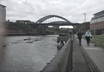
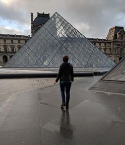
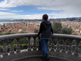
Follow me through my school year abroad..
|
|
|
|
|
|
|
|
I finally did something I have been wanting to do for ages: I made non-Americans draw a map of the United States, free hand. Two in the sampling pool were English, one was Japanese, and the last from Singapore. The results were hilarious to me, though in the artists’ defense, American’s maps of the US wouldn’t be much better. And if most Americans tried to draw the UK, it would probably just be one small circle labeled “London/England/United Kingdom.” I noticed that simply the shaping of the US was difficult. It ended up as a chunk for most, and while Florida was always remembered, its iconic shape was not. Everyone knew Texas was near the bottom and Canada was on top. Colorado was usually recognized as being in the middle, but this was mostly because I talk about it a lot and point it out on maps to people all the time. Beyond that, places like Hawaii and Alaska were really just a gamble. There were some funny stereotypes that came out of the experiment. There is an impression of racism in the south, along with jazz. Things like lobsters in Maine, retirees in Florida, and Los Angeles as a state all its own in the west were some of the ideas people had. A quick note, though, is that all these maps were made in a joking and friendly manner and any apparent biases against the US are simply "banter." 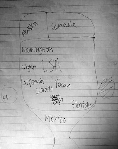 This map was my favorite because of the abstract shape and labels. Salt Lake City is inscribed over Utah- this state and city are apparently well known by many in the England because the history of Mormonism is apparently taught quite thoroughly. I also appreciate that Alaska is almost the same size as Canada and the attempt to place Hawaii in the Atlantic before realizing it was in the Pacific Ocean. 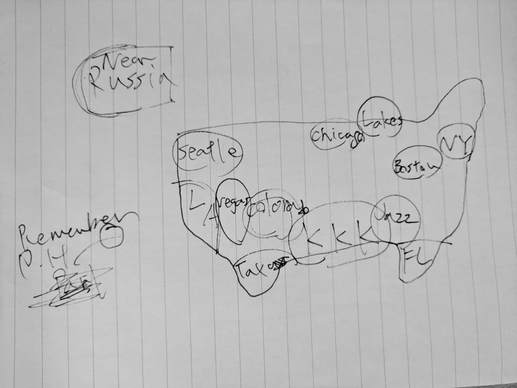 The above map was drawn by my Japanese flatmate. I apologize if the handwriting is hard to read, and I can't tell you what's happening around Hawaii besides a quiet mentioning of Pearl Harbor via the word "remember." I thought it was funny that large cities were more likely to be remembered than the names of states. Also, jazz! 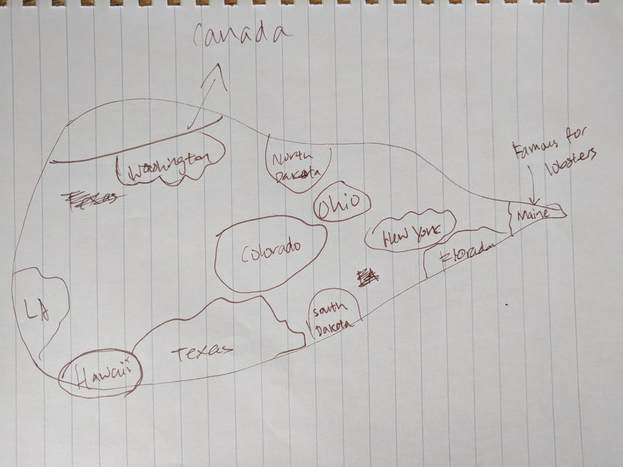 The shape in this map (drawn by my friend from Singapore) is wonderfully abstract. I appreciate the attempts to place Texas and LA. Honestly, the more you look at this map the more of a mess it appears to be. Of course, knowledge of US geography isn't universal. I didn't expect very high success rates just as I hope no one would expect me to be able to draw, say, all Asian or European countries. But to see how the US leaves an impression on international minds is both fascinating and hilarious. For example, North Dakota is in the north and South Dakota is in the south. A logical, if inaccurate, impression. 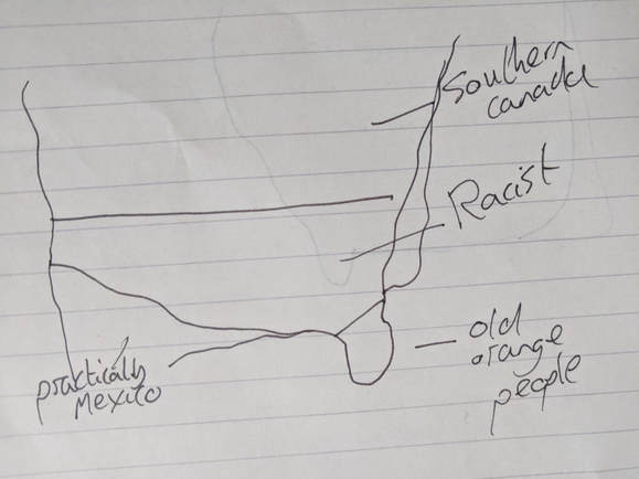 And last but not least, by another English person. Simple but elegant.
0 Comments
Leave a Reply. |
Amy Golden
Amy will be spending the academic year at the University of Sunderland in England studying journalism. Archives
February 2018
Categories |
 RSS Feed
